Google Earth – see the world now and then without leaving desktop
Google Earth is a great tool to browse the world. The service has been around over ten years now, and it has constantly improved by addition of better quality images, and new features, among them the Street View and historical imagery.
The availability of historical views varies from place to place, the earliest satellite pictures usually dating from 70’s or 80’s. Detailed pictures, however, are only available since early 2000’s.
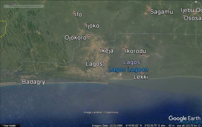
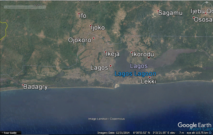
In African context, these historical images illustrate rapid urban sprawling in rather short timespan (Nigeria’s biggest city Lagos as an example in pictures below). Whether this is positive development is a debatable issue.
Google Street View has proven to be sometimes controversial feature, but virtual tourists just love it.
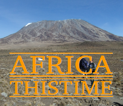
Unfortunately, in Africa the conventional Street View covers only few southern African countries. In addition Google provides “street views” from places like Kilimanjaro summit and some game parks.
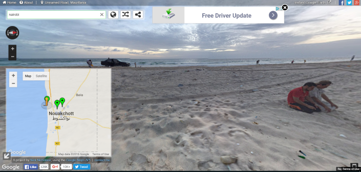
However, Street View has been complemented by user-contributed 3D views. Mostly these are from tourist sites, but there are many from bigger cities as well. Even a few from Kinshasa and Mogadishu, and no less than dozens from the Mauritanian capital Nouakchott!
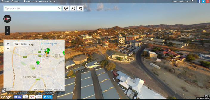
Apart from Google Earth apps, Street View can be accessed by Google Maps, or a handy website instantstreetview.com
